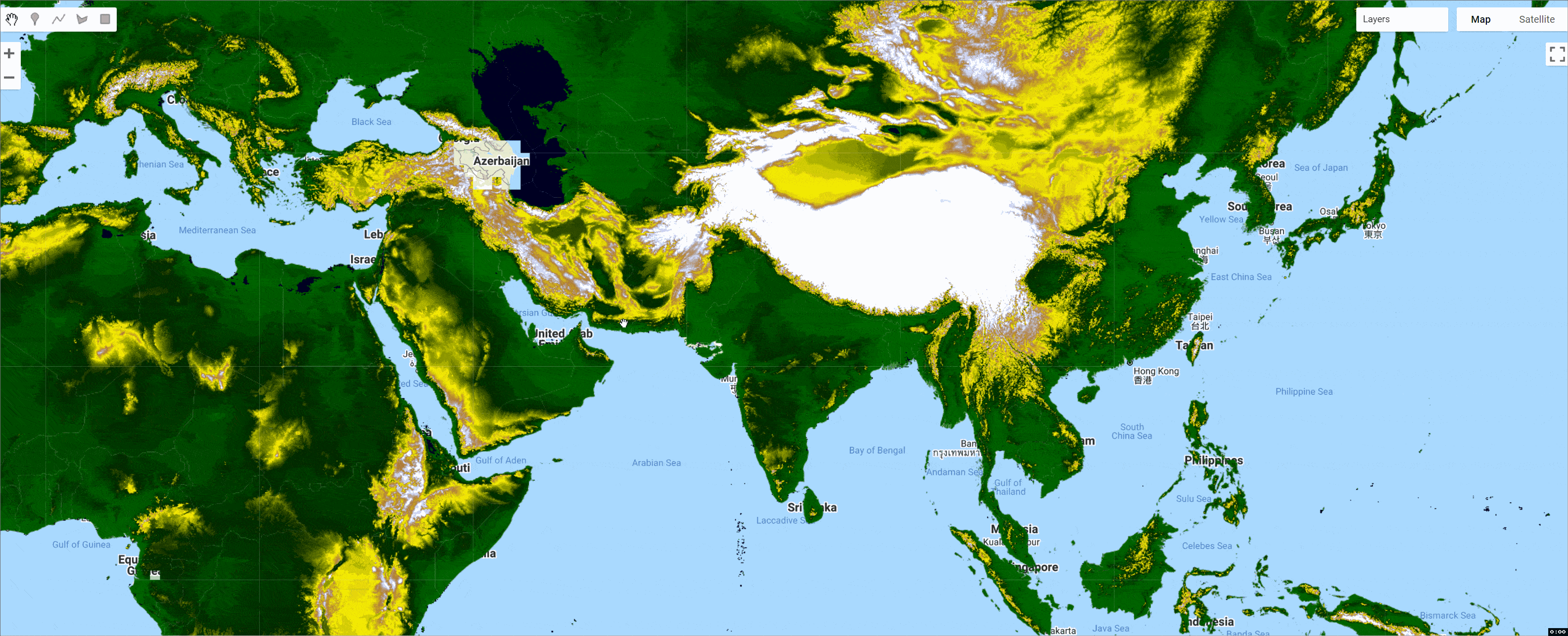
FABDEM(去除森林和建筑物的哥白尼30米DEM
FABDEM(去除森林和建筑物的哥白尼DEM)从哥白尼GLO 30数字高程模型(DEM)中去除建筑物和树木高度的偏差(空中客车,2020年)。该数据以1角秒的网格间距(赤道上约30米)提供给全球。作者使用机器学习从哥白尼数字高程模型中去除建筑物和森林,首次产生了一个以1角秒(∼30米)网格间距去除建筑物和森林的全球高程地图。你可以在这里阅读该论文:


​ShieldSquare Captcha​

整个数据集可以在这里下载:

​FABDEM V1-0 - Datasets - data.bris​

免责声明:该数据集的部分或全部描述借用了作者提供的现有描述。

源数据结构
数据为Geotiff格式,每个文件被分为1x1度的瓦片。文件被分为10x10度的压缩文件夹(详见下文数据结构部分)。文件用瓦片的西南角来标示。例如,N51E005_FABDEM_V1-0.tif的范围为北纬51-52度,东经5-6度。

压缩文件夹用西南角到东北角来标示。例如 例如N10E010-N20E020_FABDEM_V1-0.zip的范围是从北纬10-20度,东经10-20度。

Google Earth Engine(GEE)——全球去除森林和建筑物的哥白尼30米DEM数据集_数据集

代码:

var fabdem = ee.ImageCollection("projects/sat-io/open-datasets/FABDEM"),
countries = ee.FeatureCollection("FAO/GAUL/2015/level0");

print('FABDEM Collection size :',fabdem.size())

//Explanation on setting default Projection here https://twitter.com/jstnbraaten/status/1494038930643042309
var elev = fabdem.mosaic().setDefaultProjection('EPSG:3857',null,30)


//you can also use this incase you don't want to specify CRS
//var elev = fabdem.mosaic().setDefaultProjection(glo30.first().projection())

// Add the elevation to the map. Play with the visualization tools
// to get a better visualization.
Map.addLayer(elev, {}, 'elev', false);

// Use the terrain algorithms to compute a hillshade with 8-bit values.
var shade = ee.Terrain.hillshade(elev);
Map.addLayer(shade, {}, 'hillshade', false);

// Create an "ocean" variable to be used for cartographic purposes
var ocean = elev.lte(0);
Map.addLayer(ocean.mask(ocean), {palette:'000022'}, 'ocean', false);

// Create a custom elevation palette from hex strings.
var elevationPalette = ['006600', '002200', 'fff700', 'ab7634', 'c4d0ff', 'ffffff'];
// Use these visualization parameters, customized by location.
var visParams = {min: 1, max: 3000, palette: elevationPalette};

// Create a mosaic of the ocean and the elevation data
var visualized = ee.ImageCollection([
// Mask the elevation to get only land
elev.mask(ocean.not()).visualize(visParams),
// Use the ocean mask directly to display ocean.
ocean.mask(ocean).visualize({palette:'000022'})
]).mosaic();

// Note that the visualization image doesn't require visualization parameters.
Map.addLayer(visualized.clip(countries), {}, 'elev palette');

引文:

Hawker, Laurence, Peter Uhe, Luntadila Paulo, Jeison Sosa, James Savage, Christopher Sampson, and Jeffrey Neal. "A 30m global map of elevation with forests and buildings removed." Environmental Research Letters (2022).

样例代码: ​​https://code.earthengine.google.com/?scriptPath=users/sat-io/awesome-gee-catalog-examples:elevation-bathymetry/FABDEM​

License​​¶​

The FABDEM dataset is licensed under a ​​Creative Commons "CC BY-NC-SA 4.0" license​​.

This is a non-commercial and ShareAlike license. In other words, FABDEM may not be used for commercial purposes, and if it is remixed, transformed or built upon you must redistribute your contributions under the same license.

When using the data, users must include the below statements, as per the requirement of the original license.

FABDEM is produced using Copernicus WorldDEM-30 © DLR e.V. 2010-2014 and © Airbus Defence and Space GmbH 2014-2018 provided under COPERNICUS by the European Union and ESA; all rights reserved. The organizations in charge of the Copernicus program by law or by delegation do not incur any liability for any use of the Copernicus WorldDEM-30

The original license can be found: ​​https://docs.sentinel-hub.com/api/latest/static/files/data/dem/resources/license/License-COPDEM-30.pdf​

Created by: Hawker, L., Uhe, P., Paulo, L., Sosa, J., Savage, J., Sampson, C., & Neal, J

Curated by: Samapriya Roy

Keywords: digital elevation model, bare-earth, terrain, remote sensing, machine learning